


Search
La Galite Archipelago
| Legal statut : | Nature reserve | 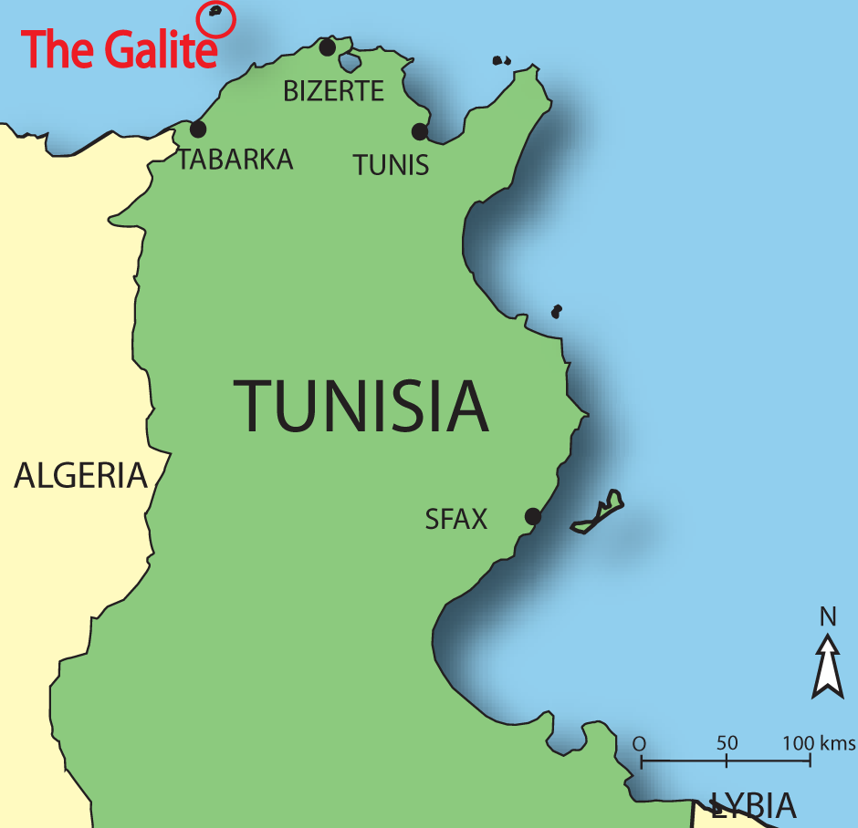 |
| Foundation year : | 1980 | |
| Foundation text : | Order of the Minister of Agriculture | |
| Management body : | Agency for the Protection and Development of the Coast |
|
| Surface : | 2 715 ha | |
| Inclusion in the SPAMI List: |
2001 |
Territory
Located in northern Tunisia 81 km. from Bizerta and 64 km. from Tabarka, the Galite archipelago is made up of six islets: the main island (La Galite), Le Galiton and La Fauchelle to the south-west and the 'dog' islets (Gallo, Gallina and Pollastro) to the north-east.
Physical features
The Galite archipelago conceals a sumptuous landscape heritage mainly because of its geological formations that are pretty well unique in Tunisia.
Specificities and importance
The marine and coastal protected area of the Galite presents a rich archaeological heritage, important agronomical know-how and an exceptional biological and ecological richness, both marine and terrestrial, with many rare species such as the Greek turtle or the Discoglossus that are threatened and protected.
The richly coloured rocky shallows, the extensive phanerogam meadows and the coralligenous beds shelter many species of purely ecological or commercial interest and which have major potential for the spawning and feeding of halieutic species.
A host of species of biological interest for the Mediterranean are distributed over many underwater landscapes, such as the organogenic formations of vermetids (Dendropoma petraeum, Goniolithon byssoides, Astroides calycularis, Cladocora caespitosa), forests of Cystoseiras, forests of Laminaria rodriguezii, and populations of Dictyopteris polipodioides, and there are maerl beds.
The archipelago is a natural nursery for many vulnerable fish species like groupers and also has great potential for the spawning and feeding of halieutic species.
Threats and pressures
The La Galite archipelago is too far out from the coast to be subjected to outside threats coming from the continent. The main attacks on the natural heritage are:
- Fishing, which visibly continues to be done illegally
- The relative deterioration of the meadow in the La Galite bay due to anchoring in unauthorized moorings
- The risk inherent in the potential appearance and proliferation of invasive species, with boats and anchoring being the main vectors.
Management
As part of the project to establish a vast marine and coastal protected area on the Galite archipelago, the management mode advocated for this space falls within the heritage approach, with its three overall objectives:
- protecting biodiversity gains by implementing specific programmes to protect rare and threatened marine and terrestrial endemic species
- rehabilitating halieutic, landscape and forest potential and harmonising life in the village of the Galite with the requirements of conservation management of an exceptional site
- making best sustainable use of its trump cards, i.e. the archaeological remains, and the richness of its terrestrial and underwater landscapes.
Zoning in the archipelago concerns three areas:
- a strongly protected area or a protected natural area: on land, this means the islets of the archipelago that contain endemic fauna, and out at sea the NE part of the archipelago (the eastern Galitons and the water north-east of La Galite), and the western part of the archipelago (water of western Galitons)
- a medium protected area or managed natural Sanctuary: on land, west and east of La Galite, and out at sea the area covers the water and underwater seabed north and west of the big island,
- a weakly protected area or natural resource management area: on land, this includes the village, the plain and their immediate surroundings, and out at sea the southern and eastern waters of the big island.
Find Us On...